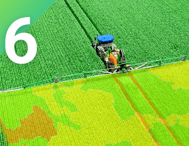
Revolutionize Agriculture with Drone and Satellite Mapping Solutions
Harness the power of precision agriculture technology for smarter farming practices today.
Increase Yield Efficiency
Optimize crop production through data-driven insights and real-time monitoring.
To achieve maximum crop production, it is essential to utilize data-driven insights and real-time monitoring. By analyzing the data collected, farmers can make informed decisions to optimize their crop production. Real-time monitoring allows for immediate adjustments to be made, ensuring that the crops are receiving the necessary care and attention. Through this approach, farmers can improve their overall yield and quality of their crops, leading to a more efficient and sustainable agricultural practice.
Enhance Field Productivity
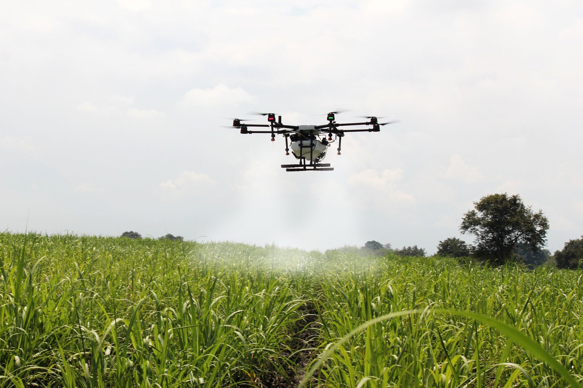
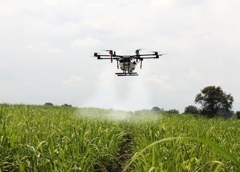
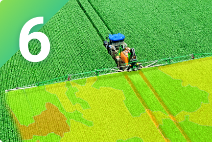
Remote monitoring can significantly enhance field productivity by allowing real-time tracking and monitoring of operations. This can lead to improved decision-making, streamlined processes, and reduced downtime. With the use of advanced technology such as sensors, drones, and data analytics, remote monitoring can provide valuable insights and alerts, enabling proactive maintenance and optimization of resources. By leveraging these tools, companies can ensure that their field operations are running efficiently and effectively, ultimately leading to increased productivity and cost savings.
Improve resource management and maximize profits with advanced agricultural technologies.
With the use of advanced agricultural technologies, farmers can effectively manage their resources and increase their profits. These technologies enable better monitoring and utilization of resources such as water, fertilizers, and pesticides, leading to improved crop yields and overall productivity. By adopting these advanced methods, farmers can optimize their operations and make the most out of their resources, ultimately leading to increased profitability.
Remote Monitoring Solutions
Real-time Data Analysis
Precision Agriculture Solutions
Explore cutting-edge precision agriculture solutions using drone and satellite mapping technology for smart farming.
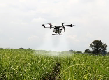
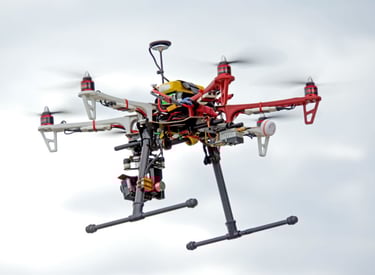
Drone Mapping Services


Utilize our drone mapping services to gather accurate data for your agricultural operations.


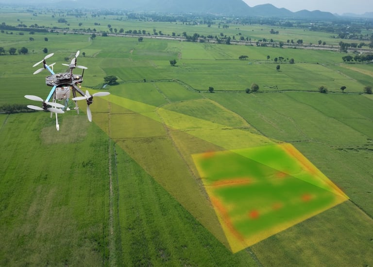
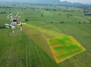
Satellite Mapping Solutions
Access our satellite mapping solutions to monitor and optimize your farm's productivity.
Enhance Crop Management
Smart Agriculture Solutions
Farming
Farm management
Forestry
Operations
Agriculture insurance
Agronomy
Ecosystems conservation
Natural resource management
Retail
Turf management
Producers
Education
Manufacturing
Production
Who can benefit?
Service providers
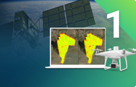
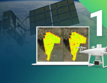
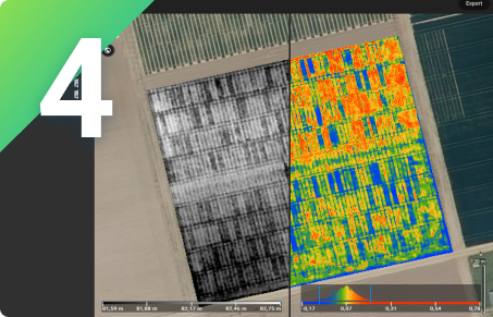
Remote Sensing
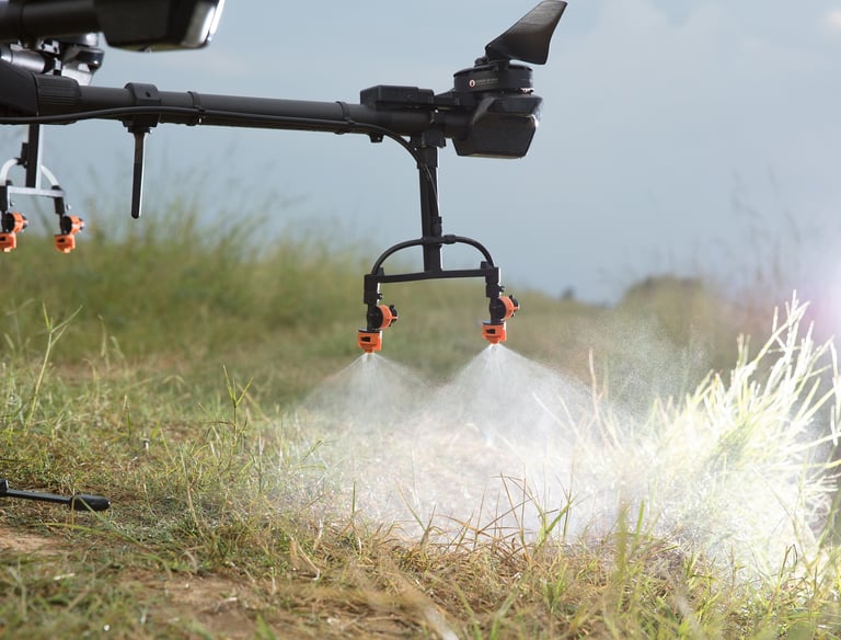
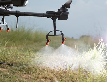
Collect images using a drone and any standard RGB or select multispectral cameras.You can also use Satellite Data Import to enhance your mapping experience with Sentinel-2 satellite data.
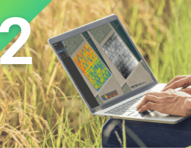
Process
Process imagery with the instant processing engine and get your maps directly in the field: 6.8 GB, 2948 images, 10 min (with the new radiometry module).
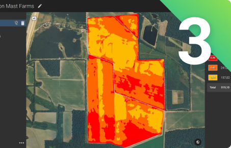
Scout
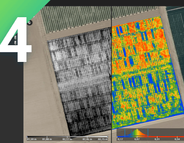
Generate precise orthomosaics, digital surface models, index maps, zones and accurate prescription maps.Trim your fields to a desired field boundary to create more targeted outputs.
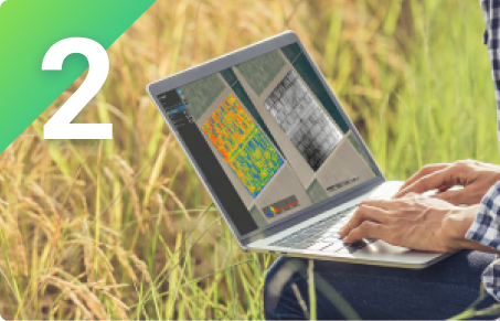
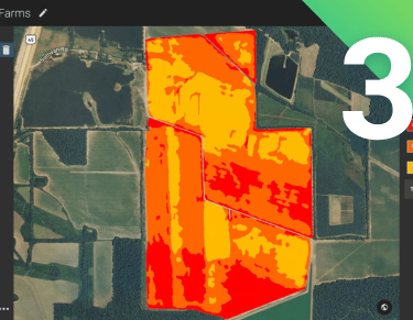
Analyse
Visualize and understand your crop growth stages and stress levels.Analyze and compare different layers of information for a full insight of your yield performance and use them to increase crop production and reduce costs.
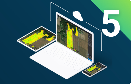
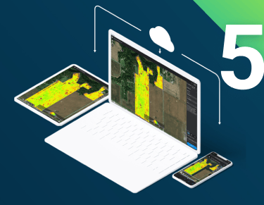
Share
Share your maps with all project stakeholders for seamless collaboration using PDF report tool or using the share to cloud features.
Integrate
Download all outputs, results and insights and import them into the Farming Management Software of your choice in various industry standard formats.
How?
Research & Development
Contact Us


Get in touch with us to learn more about our precision agriculture solutions using drones and satellite mapping. Visit our website for more information.
Services
Contact Us
ask@bantudigital.space
+254-727-7-111-61
BRILLIANT AFRICANS in NATURE & TALENT UNLEASHED (BANTU) A Last Mile Digital Solutions Company.
Copyright © 2015-2026. All rights Reserved.
Along Garissa Rd, Thika, Kenya