Professional Mapping, Survey & 3D Technology
Elevate your projects with accurate mapping solutions from industry leaders in photogrammetry technology. Contact us today!
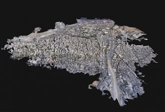
Next generation photogrammetry and
terrestrial mapping
Explore our professional photogrammetry and drone mapping services, tailored to meet your specific needs. We understand that every project is unique, and our team is dedicated to providing you with accurate and reliable data. Whether you require detailed 3D models, accurate measurements, or aerial imagery, our advanced technology and experienced professionals ensure high-quality results. Our photogrammetry services utilize state-of-the-art software and techniques to reconstruct three-dimensional models from photographs, allowing for precise measurements and detailed analysis. Additionally, our drone mapping services offer aerial surveys and mapping, providing you with comprehensive data and visualizations. With our expertise and commitment to excellence, we guarantee that our services will exceed your expectations. Contact us today to discuss your project requirements and let us assist you in achieving your goals.
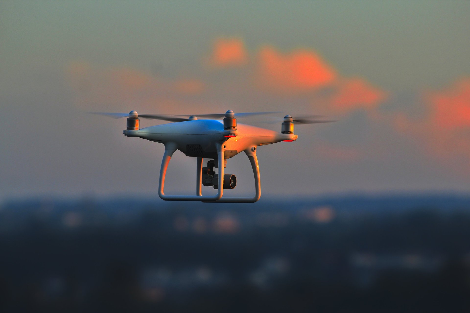
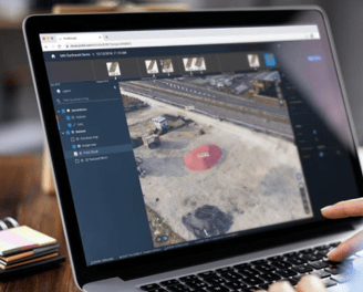
Expert Drone Mapping, Land surveying Terrestrial LiDAR and photogrammetry
Our expert drone mapping services provide accurate and detailed aerial data for various industries.
High-Quality Results
We deliver high-quality results using advanced photogrammetry techniques for precise mapping and modeling.
Accurate Data Collection for Detailed Mapping and Modeling
Customized Solutions for You


DIGITIZE REALITY
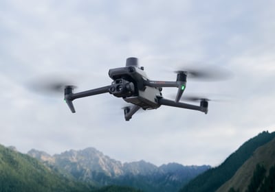
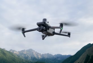
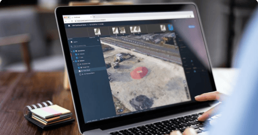
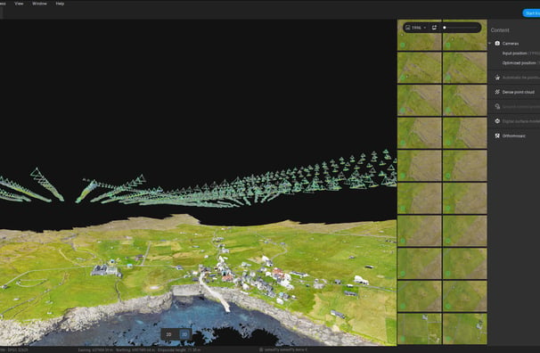
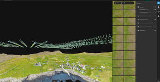
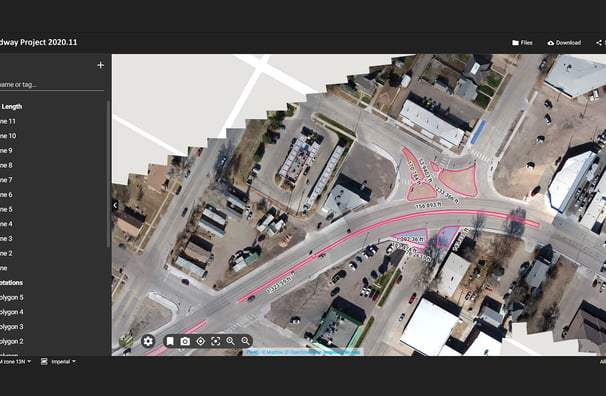
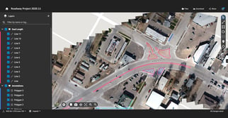
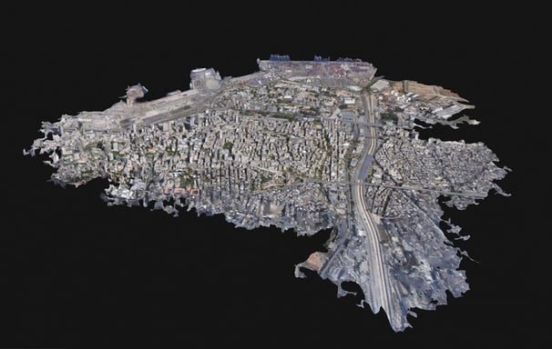
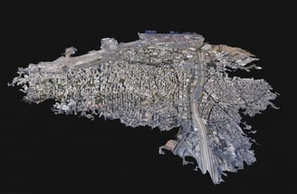
Specializing in high-quality drone mapping services for accurate data collection, we produce survey-grade deliverables such as 3D maps and models using the best technology available in the market today
CAPTURE - Increase your productivity
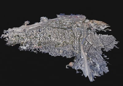
DIGITIZE
Trust our team to deliver professional photogrammetry solutions tailored to your needs.
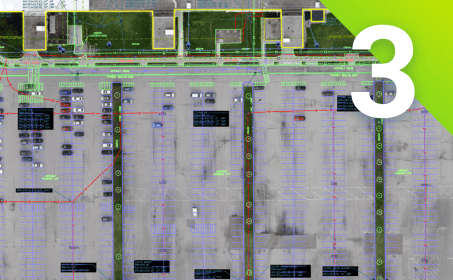
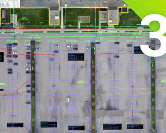
MEASURE, CHECK, VECTORIZE
Trust our team to deliver professional photogrammetry solutions tailored to your needs.Transform your images into accurate digital maps and 3D models.
6 Industries in Photogrammetry
Explore our cutting-edge drone mapping services for Data collection, processing and accurate 3D models in:


Construction
Public safety
Telecom
Surveying
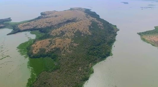
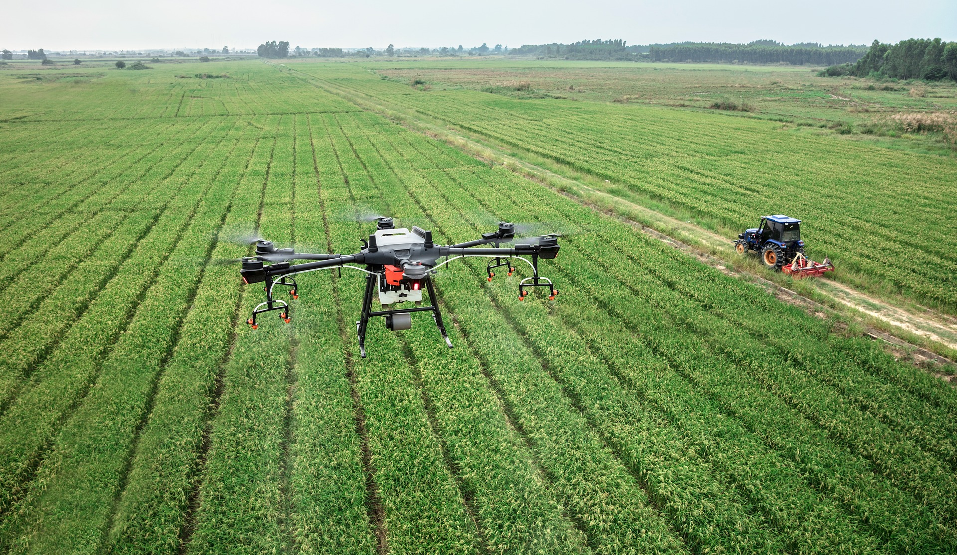
Agriculture
We provide accurate data on-demand and the software can provide specific outputs, such as digital terrain models or basemaps, that are relevant to the project from Energy to Real Estate.
We can not only provide maps and surface models of farms, but also generate multispectral image maps (with the right camera). This means that farmers can analyze how their plants reflect light and see the plant health on a cellular level. These maps are called vegetation indices.
To inspect the equipment, a specialized crew has to climb the tower and take photos or make diagrams.
This is a dangerous and time-consuming task. With specialized inspection services for telecom this is made easy. A combination of software and hardware technology can provide all the data necessary to create a digital twin.
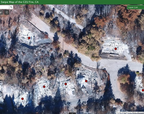
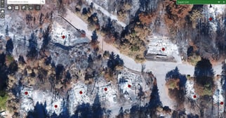
We also provide disaster response services to help response teams plan their responses or disaster preparedness, deploy resources, and facilitate evacuations. Whether working with wildfires, volcanic eruptions, or simply event management, public safety operatives need accurate, reliable overviews.
Construction is another clear benefactor of our services. Whether it is tracking of site progress or terrestrial scanning to digitize installations, there are a huge range of applications. mapping can be used to document trenches, measure distances or stockpile volumes, and improve communication to reduce unnecessary site visits by managers. Various data can be used to compare as-built to as-designed plans and capture progress, easily shared with colleagues
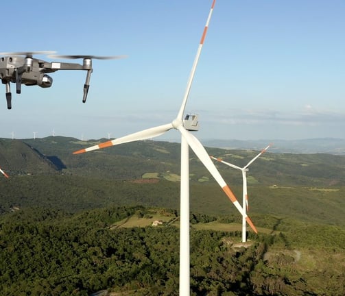
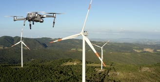
Energy
Energy is a key beneficiary of our drone inspection services. Our drones offer efficient and cost-effective solutions for inspecting critical energy infrastructure, including power lines, wind turbines, and solar panels. With high-resolution cameras, thermal sensors, and advanced data analytics, our drones perform detailed inspections, identify potential issues, and minimize downtime—all without the risks associated with traditional manual inspections. By providing real-time, actionable data, our drone solutions help energy companies improve safety, enhance maintenance practices, and increase operational efficiency, ensuring reliable energy delivery while reducing costs and environmental impact.
Services
Contact Us
ask@bantudigital.space
+254-725-9-555-15
Bantu Digital Nest - A Last Mile Digital Solutions Company.
Copyright © 2015 - 2024. All rights Reserved.
Emko Plaza A3, Along Garissa Rd next to Thika Gateway Mall. 4th floor. No: 408